-
Earth Lens
an Open Source app for iPad
Experiment complete
Thanks for the feedback!
An open source iOS-iPad only application that helps people quickly identify and classify objects in aerial imagery.
Description
Earth Lens, a Microsoft Garage project, is an open source project for iPad that identifies, tracks, and analyzes objects in aerial imagery to assist in disaster relief and environmental conservation.
The app offers a host of features that humanitarians and environmental researchers can leverage to accelerate their analyses in agricultural, environmental, or disaster relief scenarios:
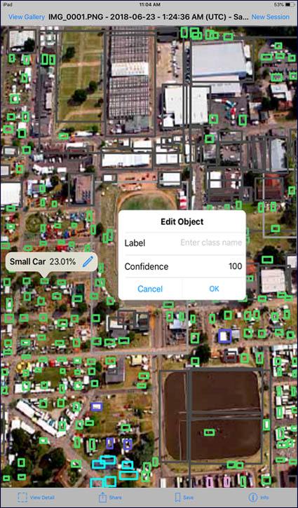
- Automatically identify, classify, and label objects in satellite images, encircling like objects in color-coded bounding boxes
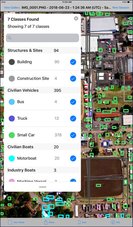
- Count and aggregate objects identified by the machine learning model
- Toggle classes on/off to focus in on specific objects
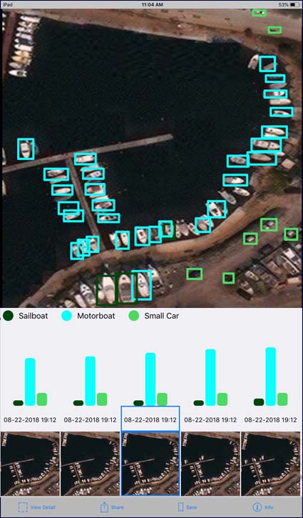
- View images over time alongside a data visualization chart to identify trends and patterns in a Time Series mode
- Use the app remotely, without an internet connection
Interested in trying Earth Lens? Check out the source code on GitHub, where you can also find instructions on how to build the iPad application and leverage the machine learning model that powers the project. You can learn more or provide feedback via GitHub.
Meet the team

Alex Jordache, Elsie Ju, Kelin Kaardal, Michelle Chen, Nelani Skantharajah, Seara Chen, and Yuchong Pan
Coaches: Andrii Kalinichenko, Hailey Musselman, Siddhant Mehta, and Tejbir Sodhana
Garage Internship
Vancouver, BC


